
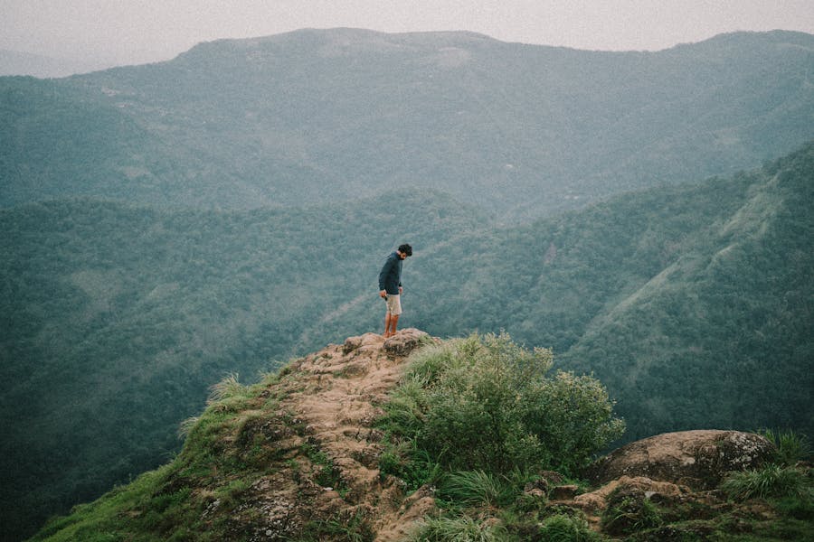
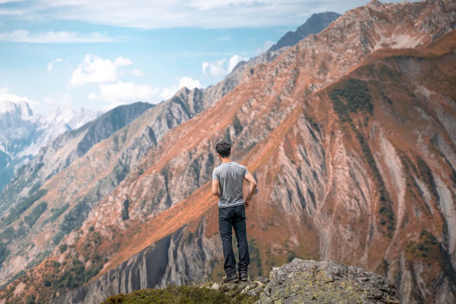
It is better to engage in outdoor activities instead of wasting your time operating your mobile phone. Step out and explore nature with your family and friends. Hiking is the best activity that helps you to explore the world together with nature. The USA is the best example of many adventurous destinations. National parks in the USA will offer you safe hiking by providing the best scenarios. Death Valley National Park is a place that is known for many unique facts. It owns many hiking trails that bring you more happiness and adventure. Here are the 10 best hikes in Death Valley National Park.
- Badwater Basin Salt Flats Trail
- Golden Canyon and Gower Gulch Loop
- Mesquite Flat Sand Dunes Trail
- Dante’s View Trail
- Mosaic Canyon Trail
- Telescope Peak Trail
- Darwin Falls
- Natural Bridge Canyon Trail
- Salt Creek Interpretive Trail
- Panamint Dunes
Badwater Basin Salt Flats Trail
- Difficulty Level: Easy to Moderate (depends on the length you choose)
- Distance: About 1 mile out to the edge of the salt flat and back; 5 miles each way from end to end
- Elevation Gain: Flat
- Estimated Hiking Time: Depends on the length you choose. At least 30-45 minutes
- Trailhead: Badwater Basin parking area
- Type of Trail: Out and back
This is the lowest point in North America which is about 279 feet below sea level. There is a boardwalk that will take you to the edge of the slat bed. From there, you have the chance to step onto the salt crystals. But, do not step on the “borders” because the delicate crystals will easily break. The most special part of this hike is that you can go how far you insist. If you intend to hike the other part of the basin, the distance is 5 miles.
Golden Canyon and Gower Gulch Loop
- Difficulty Level: Moderate
- Distance: About 4 miles
- Elevation Gain: About 675 feet
- Estimated Hiking Time: About 2 hours
- Trailhead: Along Golden Canyon Road off Badwater Road
- Type of Trail: Loop / Out and back
The Golden Canyon and Gower Gulch Loop guide you to a path that symbolizes the unique beauty of the landscapes that Death Valley is famous for. The trail is easy to follow and it is dotted with informative signs. So, it is easy to understand the geographical formation in front of you.
The trail takes you to a spectacular destination known as Red Cathedral. The hikers have the chance to choose their own adventure by hiking into canyons along the trail.
However, it is better to come early because the parking lot fills up very early. But, hiking in hotter months is not recommended.
Mesquite Flat Sand Dunes Trail
- Difficulty Level: Easy / Moderate
- Distance: About 2 miles round trip (Out and Back)
- Elevation Gain: About 185 feet
- Estimated Hiking Time: About 1.5 hours – 2 hours
- Trailhead: Parking lot east of Stovepipe Wells Village
- Type of Trail: Out and back
Mesquite Flat Sand Dunes is the most accessible dune field in the Death Valley National Park. The best time to visit this sand dune is during sunrise or sunset. When the glow of the sun’s rays touches the vast landscape the sand dunes look more magnificent. Also, the temperature here will be cooler. For photographers, Mesquite Flat Sand Dunes is one of the best places to catch their masterpiece.
Dante’s View Trail
- Difficulty Level: Easy
- Distance: About 1 mile (out and back)
- Elevation Gain: About 5,575 feet
- Estimated Hiking Time: About 30 minutes
- Trailhead: Dante’s View Parking Area
- Type of Trail: Out and back
Dante’s View is at the top of the Black Mountains. This is the highest Death Valley viewpoint accessible by road. It is about 5,500 feet above Badwater Basin. Dante’s view is best to watch sunset strolls in the Black Mountains. There are two trails that run along the ridgeline in both directions from the parking lot viewpoint. Neither of them is long, but they offer better views.
Mosaic Canyon Trail
- Difficulty Level: Moderate / Difficult
- Distance: About 2.6 miles (out and back)
- Elevation Gain: About 1,200 feet
- Estimated Hiking Time: About 2.5 – 3 hours
- Trailhead: Dante’s View Parking Area, Mosaic Canyon Road, off CA Highway 190
- Type of Trail: Out and back
The Mosaic Canyon Trails begins at a rocky wash that leads directly into the heart of the canyon. You will meet narrow paths more than ¼ mile of the trail. Also, you will come across massive smooth marble walls.
Hotter days are the best days to go for a hike in Mosaic because the walls keep you cool. When you go through about 1.3 miles of the trail, you will come across massive boulders. However, be sure to wear proper shoes because the rocks are slippery more than you expected.
Telescope Peak Trail
- Difficulty Level: Strenuous
- Distance: About 14 miles (Out and Back)
- Elevation Gain: About 3,000 feet
- Estimated Hiking Time: About 7 – 9 hours
- Trailhead: Mahogany Flat Campground, off Upper Wildrose / Emigrant Canyon Road
- Type of Trail: Out and back
The Telescope peak is the tallest point in the Death Valley National Park and is situated at 11,049 feet above sea level. This place brings you the best panoramic views.
The beginning point of the trail is the eastern slope of the Panamint Mountains. The first mile of the trail is lined up with trees. At about 2.5 miles, the trail leads you into a meadow which is a famous spot for backpackers. When you reach the top, you can look down for the Badwater Basin, the lowest point in the park. Also, when you look west, you can spot Mount Whitney, the highest point in the lower 48 states.
Darwin Falls
- Difficulty Level: Easy / Moderate
- Distance: About 2 miles round trip
- Elevation Gain: About 20 feet
- Estimated Hiking Time: About 1.5 – 2 hours
- Trailhead: Darwin Falls Road (Old Toll Road), Off CA Highway 190
- Type of Trail: Out and back
Is it possible to hear when someone says there is a waterfall in a desert? When you go for a hike to Darwin Falls, your eyes will meet this amazing waterfall. This is solid evidence to convey that the creativity of nature is unimaginable.
First, this trail takes you through a dusty canyon. You will come across trees, rocks, and a running river while you are hiking. This is the most adventurous hike in the Death Valley National Park.
Natural Bridge Canyon Trail
- Difficulty Level: Easy
- Distance: About 1 mile (Out and Back)
- Elevation Gain: About 85 feet
- Estimated Hiking Time: About 45 minutes
- Trailhead: Along Natural Bridge Road off Badwater Road
- Type of Trail: Out and back
The Natural Bridge Canyon Trail leads you to a natural bridge. As the trail is well marked, you will not miss it. You have to follow a gravel path first. Then, you will notice that the canyon gets narrower before opening up under the natural bridge. After that, if you insist to go further through the hiking trail, you will reach the dry falls or you can go back to your parking lot.
Salt Creek Interpretive Trail
- Difficulty Level: Easy
- Distance: About 0.5 miles
- Elevation Gain: Negligible
- Estimated Hiking Time: About 30 minutes
- Trailhead: End of unpaved Salt Creek Road, 13 miles west of Furnace Creek
- Type of Trail: Loop
Salt Creek in the Death Valley National park lies on Highway 190 between Stovepipe Wells and Furnace Creek. This is the home for Salt Creek Pupfish. This is the only home of these fish in the entire world. However, this hiking trail will take you to creek pools, wetlands, pickleweeds, and salt grasses.
Panamint Dunes
- Difficulty Level: Strenuous
- Distance: About 8 miles
- Elevation Gain: About 1,028 feet
- Estimated Hiking Time: About 4 – 5 hours
- Trailhead: Unmarked cross country route off of Lake Hill Road
- Type of Trail: Out and back
This is one of the remote areas in the Death Valley National Park. It is much harder to get to. So, therefore, it is less crowded. You will reach the dunes after walking about 3 miles.
Tips for Best Hikes in Death Valley National Park
Here are some tips that will help you when you get ready to go for a hike in Death Valley National Park.
The Best time for hiking
The best time for hiking in the Death Valley National Park is from November to March. The summer months are too hot in the park’s lower elevations. Most people, even in the Spring and Autumn can not bear the temperature. You can save your winter days for hiking in the lower elevation. The high peaks will help you to escape from the hottest temperature while granting you the best views of the national park. From February through April, is the best time to see the Salt Creek Pupfish in Salt Creek.
Get a national park pass
Purchase a national park pass to save your money. It will allow you to visit 3 or more national parks. The pass is valid for 12 months from the time of purchase and it is accepted at over 2,000 sites in the country.
Follow park safety guidelines and advice
These are the safety guidelines produced by the National Park Service in Death Valley National Park.
- Drink plenty of water
- Watch for signs of trouble
- Avoid hiking in the heat in the lower elevations
- Stay on paved roads in the summer
- Drive slow
- Be careful of animals like rattlesnakes, scorpions, black widow spiders, etc.
- Do not enter the mine tunnel or shafts
- Avoid canyons during rain
Try to practice leave no trace principles
Get to know the seven principles of the leave no trace.
- Plan ahead and prepare
- Dispose of waste properly
- Travel and camp on durable surfaces
- Be careful with fire
- Leave what you find
- Respect wildlife
- Be considerate of other visitors
Do not forget to check the weather forecast before arriving
Usually, canyons will get flooded during rainstorms. So, always check the weather forecast before you head out for a hike.
Bring an appropriate vehicle
As most of the roads leading to hiking trails are dirt and gravel, the park authority suggests a high clearance vehicle for the road leading to Darwin Falls. However, the other roads are considered generally rough and bumpy. So, try to drive slow.
Carry plenty of water
You need to drink plenty of water to keep yourself hydrated. As Death Valley National Park is considered the hottest place in America, you have to be aware of yourself.
Bring food and snacks
You can carry non-perishable snacks on your hikes along with a meal. You can also purchase food and other supplies at Stovepipe Wells Village, Furnace Creek, and Panamint Springs.
Wear appropriate footwear
Wear lightweight shoes or boots with excellent traction. However, the footwear you choose must be sturdy and closed-toed.
Try to dress in layers
The temperature in Death Valley differs. So, it is a must to dress in layers to avoid troublesome consequences. So, wear loose, light-colored clothing for sun protection.
Carry essential things and supplies
When hiking you will need plenty of equipment and other essentials. These include:
- First-aid kit
- Navigation systems like maps, compass, GPS
- Insulating layers like a synthetic or down jacket, rain jacket, hat, gloves, and leggings
- Lighter or waterproof matches
- Tools like a pocket knife, scissors
- Tent, space blanket
- Water bottle and food
Use sun protection
Try to use a wide-brimmed hat with SPF protection, neck protector, sunscreen, sunglasses, and SPF lip balm as most trails in the Death Valley National Park are exposed.
Hiking in Death Valley National Park is one of the best experiences that you will ever have. So, make sure to visit Death Valley in near future and explore yourself while exploring nature.
Read More: