
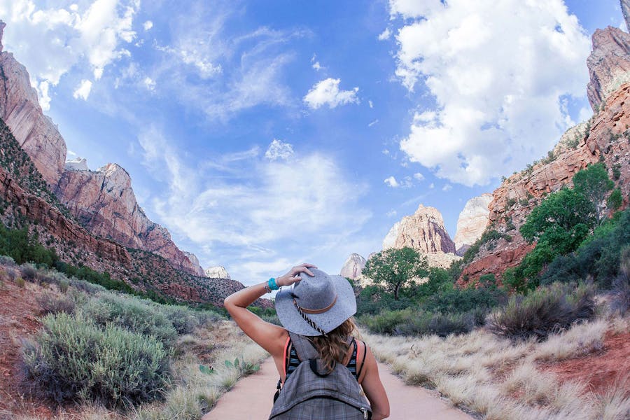
Looking for the best trails in Bryce Canyon National Park for a challenging hike or a family holiday? Bryce Canyon National Park has a variety of hikes to choose from, ranging from easy out-and-backs for the whole family to heart-pounding hours on a steep hill. In addition, the National Park is known for its panoramic vistas of hoodoos and geological formations. These are the Best Hikes in Bryce Canyon National Park, and explore how you can gather your beautiful memories during your family vacation.
- Queen’s Garden/Navajo Loop Combination Trail
- Fairyland Loop
- Rim Trail
- Fairyland Trail
- Peek-A-Boo Loop Trail
- Inspiration Point
- Rim Trail
- Bristlecone Loop Trail
- Tower Bridge
- Mossy Cave
- Hat Shop
Hikers will be attracted by the stunning scenery of Bryce Canyon National Park. However, hiking around the park is one of the most excellent ways to observe Bryce Canyon National Area’s iconic hoodoos, spires, and sandstone fins. An interconnected network of trails allows you to hike all day, with paths branching off to new sites and adventures while staying close to the park’s main road.
Queen’s Garden/Navajo Loop Combination Trail
The Queen’s Garden/Navajo Loop in Bryce Canyon National Park’s favorite hike, passing through the park’s most scenic area. It takes you on an easier hike around the rim. This hike begins on the rim with spectacular vistas, then descends over ridges into the canyon, wandering through the towering hoodoos.
The trail’s length may cause it to be classified as a moderate hike instead. The hike is 2.9 miles long. It’s long and varied enough to give you a decent sense of the park, yet simple enough for anyone in reasonable shape to complete.
Although this is a technically easy trek on a solid and obstacle-free path, the park rates it as intermediate, likely owing to the trail’s length and height. The easiest way to complete this hike is to start at Sunrise or Sunset Point and work clockwise. The Queen’s Garden walk runs down the canyon from Sunrise Point, offering spectacular views at every bend.
A brief excursion to the Queen’s Garden, where you’ll see a hoodoo representing Queen Victoria, may be found at the bottom. The route finally connects with Navajo Loop and continues a slow rise up the canyon.
Two routes lead up to Sunset Point on the last leg of the Navajo Loop; the most famous is Wall Street, while the second is Two Bridges. Both eventually lead to a sequence of switchbacks, which allow you to gain a significant elevation in a short amount of time.
Fairyland Loop
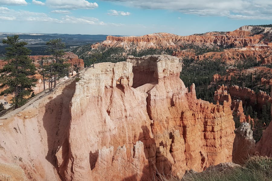
Fairyland Loop’s name simply offers you a sense of the hike’s scenery and moods. This is the most challenging and longest day hike in Bryce Canyon. It brings you through the famous amphitheater to the north of Bryce Canyon, where you’ll witness a variety of unusual geological formations.
Fairyland Loop is a simple day hike, though it is better to get an early start during peak season because it can get hot and congested. Some signs mark Fairyland Point Overlook. Continue driving east for about a mile to the trailhead parking lot.
This hike is best visited from Fairyland Point. You can get there by combining Sunrise Point with a short portion of the Rim Trail. Many visitors drive by and miss the fantastic vistas because it is close to the Bryce Canyon Visitor Center and the park entrance. Hike through formations such as Sinking Ship and others.
Rim Trail
If you have more days and need more rest times, break the hike into smaller chunks. The Rim Trail is one of Bryce Canyon National Park’s most famous paths. It leads you past Sunrise Point, Sunset Point, Inspiration Point, and Bryce Point, among the best viewpoints in the area. Wooden benches are located at various spots along the trail, or you can bring your hiking chair.
The Bryce Canyon Amphitheater, a hoodoo-filled valley in the park’s core, is surrounded by the Rim Trail. This path follows the canyon’s contours, providing spectacular views of Bryce Canyon’s hoodoos.
The trail is divided into sections that are paved and sections that are dirt paths. The vistas are unparalleled, particularly in the morning. This climb is a great way to start your day in Bryce Canyon, with benches along the way. The hoodoos are painted brilliant orange and faded pink by the early morning sun.
You can reach the path from any of these locations for shorter hikes. Instead, proceed to the Fairyland Point turnoff. Start your hike by going east from the parking area designated for it. It takes you past all of the magnificent views and is one of the Park paths you should not miss if you want to get the most out of your visit.
Fairyland Trail
If you want to experience some of the Fairyland Trail’s gorgeous panoramas and geographic features but don’t have the time or energy to complete the entire trail, consider this one. Tower Bridge is one of the trail’s most notable attractions, and you may reach it via an out-and-back journey. The length is a hike of about 3.4 miles, and it takes 2 to 4 hours times.
Because the Fairyland Trail is so famous, you may find yourself in the middle of a crowd during peak season. However, because it is so close to the park entrance, it is open for most of the year. To avoid the crowds, go in the spring or late fall. The best time to visit the fairyland trail is March through October.
Between two stone pillars, the Tower Bridge is a bridge-like arch construction. It is breathtaking and well worth the effort. On your trip there, you’ll pass by some ancient bristlecone pines and other fascinating hoodoos and arches.
Peek-A-Boo Loop Trail
This 5.5-mile trail is an excellent alternative to the Queen’s Garden and Navajo Trails, both trendy. A steep drop past huge hoodoos leads you into the heart of the Bryce Canyon Amphitheater. The Peek-a-boo loop has a lot of people on it. The main area of the park includes one of the rivers that travel through the Canyon. It’s one of the park’s most common hikes, and it’s also used as a horse trail for most of the year.
Starting at the trail’s start, you descend steeply into the Bryce Canyon Amphitheater at the trail’s beginning. You’ll be passing through and through gigantic hoodoos at this time, and you’ll be able to appreciate their actual size.
Because of the descent and ascent later in the trip, which includes more than a 1,500-foot elevation increase, it is recommended that you wear supportive hiking boots to protect your ankles.
The Wall of Windows, where arches and fissures in the upper regions of linked hoodoos frame the blue sky behind them, is one of the attractions along Peek-A-Boo Loop. This is a challenging climb with approximately 1,500 feet of elevation gain, which occurs over a short distance.
Inspiration Point
The Inspiration Point hike takes you to three different vistas in a short amount of time. Inspiration Point is an excellent and easy hike that is 0.6 miles long and takes an average of 15 to 30 minutes to complete. However, it’s still a hike worth mentioning, especially if you’re visiting the area and want to take a few shorter walks or anything else.
The lower, middle and higher overlooks at Inspiration Point are all popular with visitors. It is claimed that these provide the most excellent views in the park. It also helps that people of different skill levels can accomplish it. The Lower Point is direct across the street from the parking lot. The Mid and Upper Overlooks are only a few minutes away and well worth the walk to take it all in.
Bristlecone Loop Trail
The Bristlecone Loop path begins at Rainbow Point, the park’s highest point. On this trail, you’ll be trekking at almost 9,000 feet above sea level! This ideal leg stretch complements the scenic trip up to Rainbow Point and back.
Another commonly traveled section of the path is the Bristlecone Loop Trail. When deciding what you want to accomplish, you have a variety of possibilities to consider. Compared to most trails, they are all considered relatively easy. The elevation rise for the entire trek is only about 90 feet, making it ideal for even a pair of hiking sandals.
Bristlecone Pines, the trail’s namesake, Bristlecone Pines are the world’s oldest surviving species. The park’s oldest tree is 1,600 years old! Because of the great elevation, the very short climb leads to views unlike any other in Bryce Canyon. The hikes near Bryce Canyon Amphitheater are substantially busier than those in this part of the park.
Drive to Rainbow Point, which is near the park’s southern end, to get to the loop. It takes you through the park’s highest point, where you’ll find a forest. The highest point in this area is 9,100 feet. After passing through the park’s gate, drive along Bryce Point Road to reach there. To get there, take the UT-63 and exit at the Inspiration Point intersection. It is well marked, and you will not miss it because of its popularity.
Tower Bridge
The Tower Bridge walk is an easy hike that leads to a famous rock feature beneath the rim. The trail begins at Sunrise Point and descends into the canyon, providing spectacular views of the hoodoos and Bristlecone Pines.
The trail is an out-and-back route that passes by sights like the Chinese Wall. Along the longer Fairyland Loop Trail, you can also see Tower Bridge. This walk directly to Tower Bridge is an excellent alternative if you don’t have time for the lengthier hike starting from Fairyland Point.
Consider the out-and-back Tower Bridge Hike if you aren’t up for the complete Fairyland Loop Trail. This trail follows a section of the Fairyland trail before diverging on a spur to the Tower Bridge, a stunning stone structure. Along this three-mile journey through hoodoos and past a colorful stone wall known as the Chinese Wall, you’ll encounter bristlecone pines. This hike is a moderate out-and-back with an elevation gain of 800 feet and some shade at the Tower Bridge.
Mossy Cave
The Mossy Cave Trail offers a first look at Bryce Canyon and is a beautiful choice if you don’t have much time or want an easy hike. It allows you to see a portion of the park without traveling too far into the park, where masses of people would be waiting.
One of the few walks that begin outside the park’s entrance station is the Mossy Cave Trail. The trailhead is about 4 miles outside the park, along Highway 12. This route is short and easy, and it rewards you with vistas that are somewhat different from the rest of the park.
You’ll follow a little stream to a mossy cave. The moss hanging in the cave drips with water in the heat. It turns into icicles during the winter.
Drive east on UT 12 until you reach the trailhead, about 1.2 miles west of the park’s eastmost entrance. It includes a brief walk into the reddish pinnacles that are so famous in Bryce Canyon.
Here is a stream that was diverted from the Sevier River by pioneers. It is increasingly following this stream. You eventually arrive in a cave covered with moss and cold air.
Hat Shop
The Hat Shop is named from the precariously positioned white rocks situated atop the hoodoos along the trek. This trail is ideal for hikers who have completed several of the park’s other trails and are searching for a less congested option. It’s also an excellent option for those seeking a physical challenge.
Past the hoodoo formations, the trail dips into the canyon. Turn around at the bottom and stare up 1,000 feet to see the return journey ahead of you. In each direction, the vistas are distinct. Take a breather.
The Hat Shop Trail covers a stretch of the popular backcountry Under-the-Rim Trail. You’ll begin at Bryce Point, the starting point for the Peekaboo Loop. On the other hand, Hat Shop is peaceful and uncrowded, unlike the more popular Peekaboo Trail.
The trail is named after the hoodoo spires found near the halfway mark. These hoodoos, which resemble hats, have big grey stones balanced on their tops. This four-mile in-and-out trail is a steep thigh- and knee-buster that individuals in good physical condition should only attempt.
Walking in Bryce Canyon National Park is one of the best ways to see the park. The most popular trails in Bryce Canyon are in and around Bryce Amphitheater in the park’s northern section. The free shuttle will save you time and effort looking for a parking spot in this region. Further south, there are some breathtakingly beautiful and less busy trails, but the shuttle only travels as far as Bryce Point, so plan appropriately.
Read more: